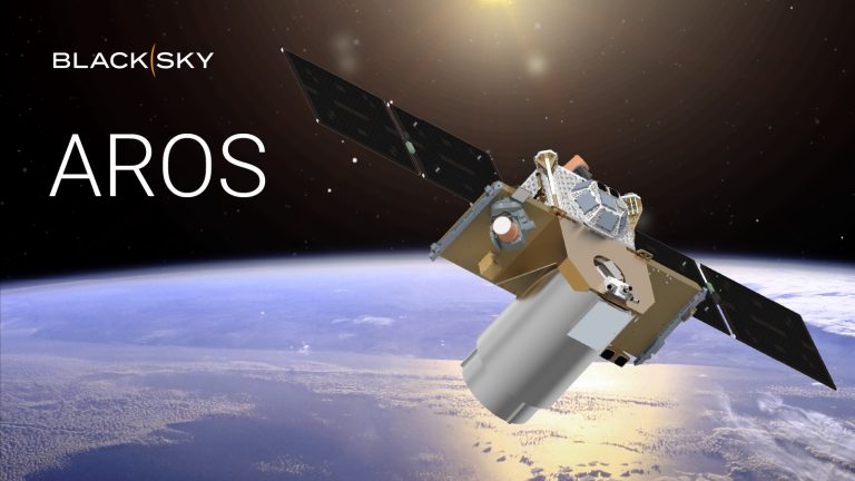
WASHINGTON — BlackSky, a provider of satellite imagery and analytics, announced plans to develop a new type of Earth observation satellite designed to capture large areas of the planet. This new satellite will target applications requiring broad geographical coverage, including country-scale mapping, maritime monitoring and the creation of virtual replicas of physical locations.
The wide-area imaging satellite, called Aros, is scheduled to launch in 2027, BlackSky’s CEO Brian O’Toole told SpaceNews.
The Herndon, Virginia-based company, which trades on the New York Stock Exchange, specializes in Earth monitoring using electro-optical imaging satellites combined with artificial intelligence to analyze the captured data. It currently operates a fleet of satellites that take frequent, high-resolution images of specific locations.
Its newest Gen-3 satellites can capture images with 35-centimeter resolution and revisit the same spot up to once per hour. These satellites are designed for monitoring targeted areas rather than covering vast regions in a single pass.
The Aros satellite is intended to image entire countries or large regions, generating comprehensive datasets that can be used to build and maintain what the industry calls “digital twins” — virtual replicas that mirror the current state of physical infrastructure like ports, cities, or industrial facilities.
Filling market demand
BlackSky is looking to offer a more complete imaging solution — pairing rapid revisit with broader surveillance capabilities, O’Toole said.
The move toward large-area imaging comes at a time when wide-coverage satellites operated by other providers are aging, opening a market opportunity. “There is a well-defined market and demand signal for this,” he said, citing interest from U.S. defense agencies, international governments and commercial users.
“If customers want to collect large, country-size database maps, they can do that through this new satellite,” O’Toole said. The company is not yet disclosing how many Aros satellites it plans to build.
The wide-area satellites will work alongside the rapid-revisit constellation in what’s known as “tipping and queuing.” The broad-coverage satellite acts as a scout, scanning large areas to identify changes or points of interest. When something noteworthy is detected, it alerts the high-resolution satellites to focus on those specific locations for detailed imaging.
This coordinated approach could prove valuable for applications such as missile detection and tracking, O’Toole said.
O’Toole said the decision to develop Aros was closely tied to BlackSky’s acquisition of satellite manufacturer LeoStella in late 2024. LeoStella, originally a joint venture with Thales Alenia Space, manufactures BlackSky’s entire line of satellites. “Aros was one of the key factors in BlackSky’s acquisition of LeoStella,” he said.
The company’s immediate priority is deploying its Gen-3 satellite constellation, O’Toole said. Two of these high-resolution satellites are already in orbit and BlackSky aims to have eight in operation by the first quarter of 2026.

